
Mechelen topographic map
Interactive map
Click on the map to display elevation.
About this map
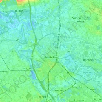
Name: Mechelen topographic map, elevation, terrain.
Location: Mechelen, Antwerp, Flanders, Belgium (50.99097 4.37009 51.07858 4.54904)
Average elevation: 7 m
Minimum elevation: -2 m
Maximum elevation: 30 m