
Peru topographic map
Interactive map
Click on the map to display elevation.
About this map
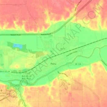
Name: Peru topographic map, elevation, terrain.
Location: Peru, Miami County, Indiana, 46970, United States (40.73383 -86.13538 40.78712 -86.04239)
Average elevation: 216 m
Minimum elevation: 174 m
Maximum elevation: 247 m