
Sarıyer topographic map
Interactive map
Click on the map to display elevation.
About this map
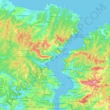
Name: Sarıyer topographic map, elevation, terrain.
Location: Sarıyer, Istanbul, Marmara Region, Turkey (41.08109 28.93257 41.26238 29.11626)
Average elevation: 83 m
Minimum elevation: 0 m
Maximum elevation: 323 m