
Tarbert topographic map
Interactive map
Click on the map to display elevation.
About this map
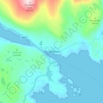
Name: Tarbert topographic map, elevation, terrain.
Location: Tarbert, Western Isles, Scotland, HS3 3DB, United Kingdom (57.87802 -6.81916 57.91802 -6.77916)
Average elevation: 87 m
Minimum elevation: -1 m
Maximum elevation: 472 m