
Liberty County topographic map
Interactive map
Click on the map to display elevation.
About this map
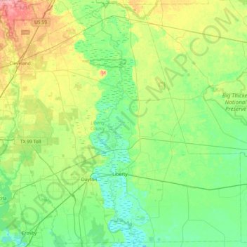
Name: Liberty County topographic map, elevation, terrain.
Location: Liberty County, Texas, United States (29.88428 -95.16577 30.49010 -94.44231)
Average elevation: 25 m
Minimum elevation: -1 m
Maximum elevation: 97 m