
Garden topographic map
Interactive map
Click on the map to display elevation.
About this map
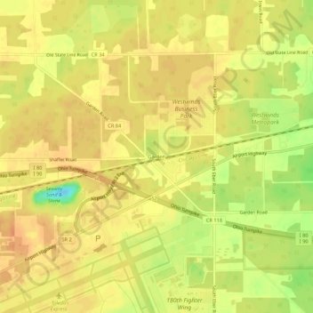
Name: Garden topographic map, elevation, terrain.
Location: Garden, Lucas County, Ohio, United States (41.58422 -83.81633 41.62422 -83.77633)
Average elevation: 204 m
Minimum elevation: 177 m
Maximum elevation: 214 m