
Strath Creek topographic map
Interactive map
Click on the map to display elevation.
About this map
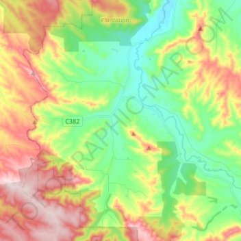
Name: Strath Creek topographic map, elevation, terrain.
Location: Strath Creek, Shire of Murrindindi, Victoria, Australia (-37.29641 145.16274 -37.19730 145.29711)
Average elevation: 333 m
Minimum elevation: 170 m
Maximum elevation: 570 m