
Glen Springs topographic map
Interactive map
Click on the map to display elevation.
About this map
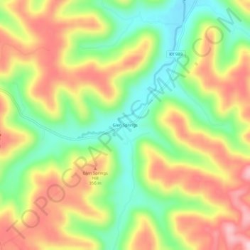
Name: Glen Springs topographic map, elevation, terrain.
Location: Glen Springs, Lewis County, Kentucky, United States (38.49091 -83.50519 38.53091 -83.46519)
Average elevation: 287 m
Minimum elevation: 184 m
Maximum elevation: 396 m