
Cotter topographic map
Interactive map
Click on the map to display elevation.
About this map
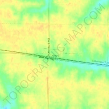
Name: Cotter topographic map, elevation, terrain.
Location: Cotter, Louisa County, Iowa, United States (41.29089 -91.47502 41.29448 -91.45548)
Average elevation: 221 m
Minimum elevation: 202 m
Maximum elevation: 229 m