
Auburn topographic map
Interactive map
Click on the map to display elevation.
About this map
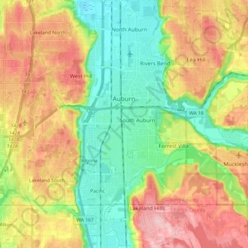
Name: Auburn topographic map, elevation, terrain.
Location: Auburn, King County, Washington, United States (47.23714 -122.28070 47.35387 -122.14364)
Average elevation: 88 m
Minimum elevation: 6 m
Maximum elevation: 197 m