
Elara topographic map
Interactive map
Click on the map to display elevation.
About this map
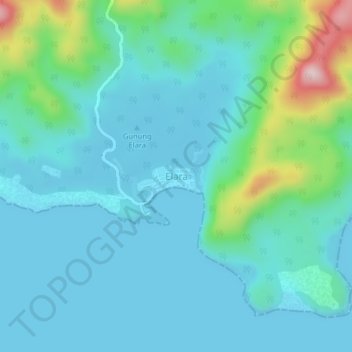
Name: Elara topographic map, elevation, terrain.
Location: Elara, Buru Selatan, Moluccas, Maluku, Indonesia (-3.90887 127.18447 -3.86887 127.22447)
Average elevation: 63 m
Minimum elevation: 0 m
Maximum elevation: 364 m