
MacGregor topographic map
Interactive map
Click on the map to display elevation.
About this map
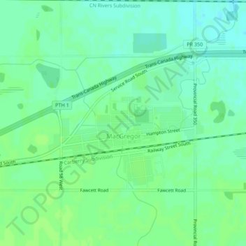
Name: MacGregor topographic map, elevation, terrain.
Location: MacGregor, Division No. 8, Manitoba, R0H 0R0, Canada (49.96020 -98.78967 49.97515 -98.76674)
Average elevation: 293 m
Minimum elevation: 287 m
Maximum elevation: 296 m