
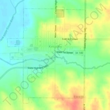
Kingsley topographic map
Interactive map
Click on the map to display elevation.
About this map
Name: Kingsley topographic map, elevation, terrain.
Location: Kingsley, Plymouth County, Iowa, United States (42.57427 -95.98316 42.59788 -95.95725)
Average elevation: 386 m
Minimum elevation: 364 m
Maximum elevation: 417 m