
Balu topographic map
Interactive map
Click on the map to display elevation.
About this map
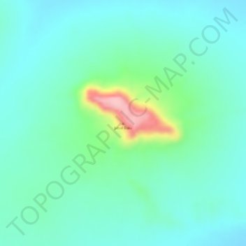
Name: Balu topographic map, elevation, terrain.
Location: Balu, Mellit, North Darfur State, Sudan (15.45917 26.04121 15.45927 26.04131)
Average elevation: 873 m
Minimum elevation: 833 m
Maximum elevation: 998 m
Other topographic maps
Click on a map to view its topography, its elevation and its terrain.
Kolbe
Sudan > North Darfur State > Kolbe
Kolbe, Mellit, North Darfur State, Sudan
Average elevation: 971 m