
Litchfield topographic map
Interactive map
Click on the map to display elevation.
About this map
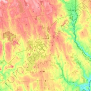
Name: Litchfield topographic map, elevation, terrain.
Location: Litchfield, Litchfield County, Connecticut, United States (41.67276 -73.29857 41.79399 -73.06840)
Average elevation: 289 m
Minimum elevation: 96 m
Maximum elevation: 462 m