
Muang Et topographic map
Interactive map
Click on the map to display elevation.
About this map
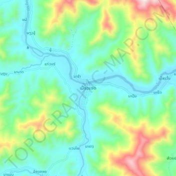
Name: Muang Et topographic map, elevation, terrain.
Location: Muang Et, Et District, Houaphanh, Laos (20.78039 103.96578 20.86039 104.04578)
Average elevation: 450 m
Minimum elevation: 249 m
Maximum elevation: 995 m