
Bratten topographic map
Interactive map
Click on the map to display elevation.
About this map
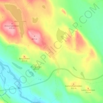
Name: Bratten topographic map, elevation, terrain.
Location: Bratten, Lycksele kommun, Västerbotten County, Sweden (64.50603 18.36575 64.54603 18.40575)
Average elevation: 321 m
Minimum elevation: 266 m
Maximum elevation: 396 m