Geolocate

Full View of Shap Pat Heung topographic map

Interactive map

Click on the map to display elevation.

About this map

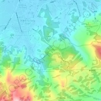
Name: Full View of Shap Pat Heung topographic map, elevation, terrain.

Location: Full View of Shap Pat Heung, Tai Tong Shan Road, Tai Tong Tsuen, Yuen Long District, New Territories, Hong Kong, China (22.40964 114.03041 22.40974 114.03051)

Average elevation: 76 m

Minimum elevation: 9 m

Maximum elevation: 243 m

Other topographic maps

Click on a map to view its topography, its elevation and its terrain.

Tai Tong Tsuen

China > Hong Kong > Tai Tong Tsuen

Tai Tong Tsuen, Yuen Long District, New Territories, Hong Kong, China

Average elevation: 83 m