
Taitang topographic map
Interactive map
Click on the map to display elevation.
About this map
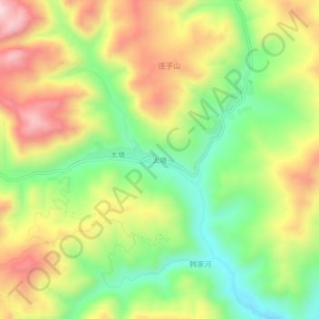
Name: Taitang topographic map, elevation, terrain.
Location: Taitang, Li County, Longnan City, China (33.96126 104.99319 34.00126 105.03319)
Average elevation: 1,715 m
Minimum elevation: 1,479 m
Maximum elevation: 1,994 m