
Richmond topographic map
Interactive map
Click on the map to display elevation.
About this map
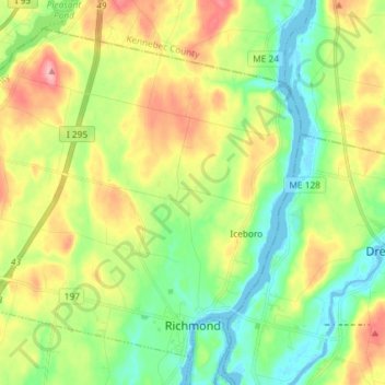
Name: Richmond topographic map, elevation, terrain.
Location: Richmond, Sagadahoc County, Maine, 04357, United States (44.07862 -69.90374 44.16810 -69.75800)
Average elevation: 46 m
Minimum elevation: -9 m
Maximum elevation: 119 m