
Kanto topographic map
Interactive map
Click on the map to display elevation.
About this map
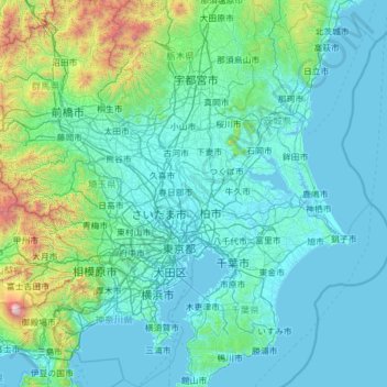
Name: Kanto topographic map, elevation, terrain.
Location: Kanto, Noda, Chiba Prefecture, 278-0005, Japan (34.95748 138.86706 36.95748 140.86706)
Average elevation: 265 m
Minimum elevation: -3 m
Maximum elevation: 3,662 m
Other topographic maps
Click on a map to view its topography, its elevation and its terrain.