
Bear Run topographic map
Interactive map
Click on the map to display elevation.
About this map
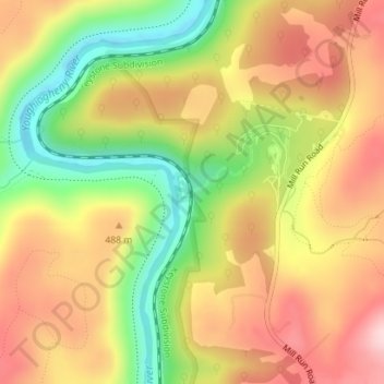
Name: Bear Run topographic map, elevation, terrain.
Average elevation: 452 m
Minimum elevation: 312 m
Maximum elevation: 571 m
Other topographic maps
Click on a map to view its topography, its elevation and its terrain.
Stewart Township
United States > Pennsylvania > Stewart Township
Stewart Township, Fayette County, Pennsylvania, 15470, United States
Average elevation: 603 m