
Miamisburg topographic map
Interactive map
Click on the map to display elevation.
About this map
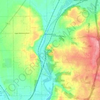
Name: Miamisburg topographic map, elevation, terrain.
Location: Miamisburg, Montgomery County, Ohio, 45342, United States (39.59665 -84.32764 39.66157 -84.21510)
Average elevation: 247 m
Minimum elevation: 201 m
Maximum elevation: 315 m