
Lairg topographic map
Interactive map
Click on the map to display elevation.
About this map
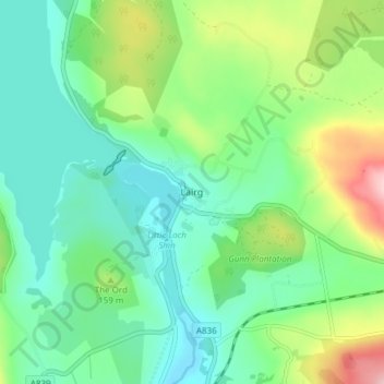
Name: Lairg topographic map, elevation, terrain.
Location: Lairg, Highland, Scotland, IV27 4BL, United Kingdom (58.00563 -4.41964 58.04563 -4.37964)
Average elevation: 129 m
Minimum elevation: 76 m
Maximum elevation: 259 m