
Long Creek topographic map
Interactive map
Click on the map to display elevation.
About this map
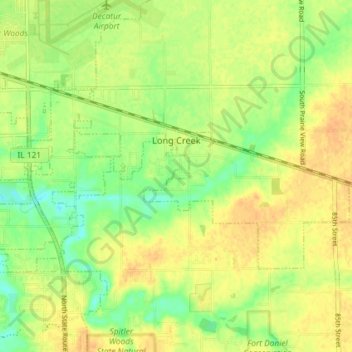
Name: Long Creek topographic map, elevation, terrain.
Location: Long Creek, Macon County, Illinois, United States (39.79103 -88.88451 39.82141 -88.81181)
Average elevation: 206 m
Minimum elevation: 189 m
Maximum elevation: 218 m