
Amboseli topographic map
Interactive map
Click on the map to display elevation.
About this map
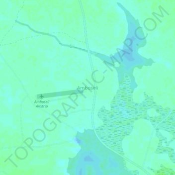
Name: Amboseli topographic map, elevation, terrain.
Location: Amboseli, Kajiado County, Kenya (-2.66333 37.23908 -2.62333 37.27908)
Average elevation: 1,132 m
Minimum elevation: 1,128 m
Maximum elevation: 1,135 m