
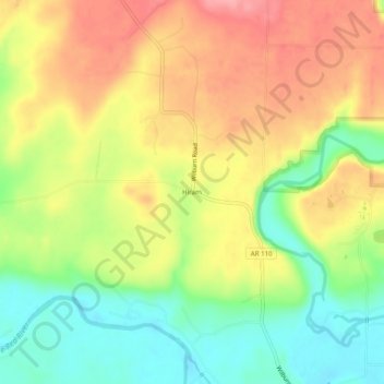
Hiram topographic map
Interactive map
Click on the map to display elevation.
About this map
Name: Hiram topographic map, elevation, terrain.
Location: Hiram, Cleburne County, Arkansas, 72179, United States (35.44925 -91.88792 35.48925 -91.84792)
Average elevation: 123 m
Minimum elevation: 71 m
Maximum elevation: 173 m