
Forestbrook topographic map
Interactive map
Click on the map to display elevation.
About this map
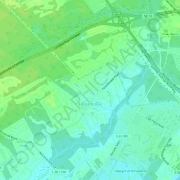
Name: Forestbrook topographic map, elevation, terrain.
Location: Forestbrook, Horry County, South Carolina, United States (33.70782 -78.99287 33.74093 -78.94362)
Average elevation: 7 m
Minimum elevation: 0 m
Maximum elevation: 13 m