
Loveland topographic map
Interactive map
Click on the map to display elevation.
About this map
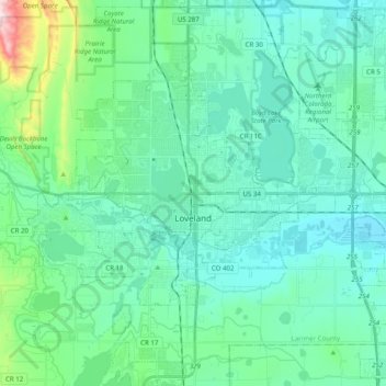
Name: Loveland topographic map, elevation, terrain.
Location: Loveland, Larimer County, Colorado, United States (40.34907 -105.15979 40.46587 -104.96208)
Average elevation: 1,547 m
Minimum elevation: 1,472 m
Maximum elevation: 1,926 m