
McNary topographic map
Interactive map
Click on the map to display elevation.
About this map
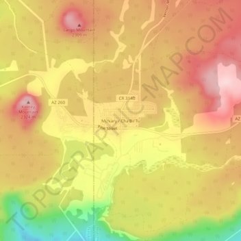
Name: McNary topographic map, elevation, terrain.
Location: McNary, Apache County, Arizona, 85930, United States (34.05366 -109.87705 34.09366 -109.83705)
Average elevation: 2,222 m
Minimum elevation: 2,069 m
Maximum elevation: 2,320 m