
Ardmore topographic map
Interactive map
Click on the map to display elevation.
About this map
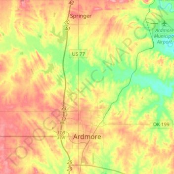
Name: Ardmore topographic map, elevation, terrain.
Location: Ardmore, Carter County, Oklahoma, United States (34.12886 -97.21290 34.33242 -96.99870)
Average elevation: 258 m
Minimum elevation: 210 m
Maximum elevation: 306 m