
Derby topographic map
Interactive map
Click on the map to display elevation.
About this map
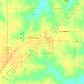
Name: Derby topographic map, elevation, terrain.
Location: Derby, Lucas County, Iowa, United States (40.92656 -93.46146 40.93399 -93.45072)
Average elevation: 326 m
Minimum elevation: 306 m
Maximum elevation: 338 m