
Ma Am topographic map
Interactive map
Click on the map to display elevation.
About this map
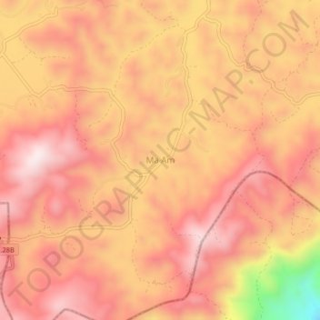
Name: Ma Am topographic map, elevation, terrain.
Location: Ma Am, Đức Trọng District, Lâm Đồng Province, Vietnam (11.50679 108.35073 11.54679 108.39073)
Average elevation: 955 m
Minimum elevation: 581 m
Maximum elevation: 1,118 m