
Longford topographic map
Interactive map
Click on the map to display elevation.
About this map
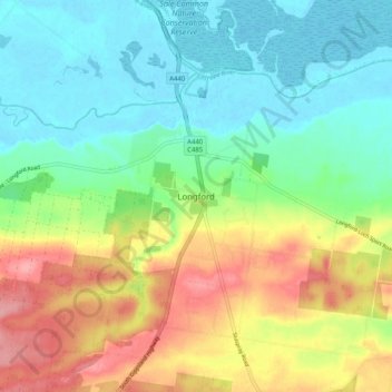
Name: Longford topographic map, elevation, terrain.
Location: Longford, Shire of Wellington, Victoria, Australia (-38.21127 147.04607 -38.13127 147.12607)
Average elevation: 41 m
Minimum elevation: -3 m
Maximum elevation: 111 m
Victoria trails, hiking, mountain biking, running and outdoor activities
Other topographic maps
Click on a map to view its topography, its elevation and its terrain.