
Gray topographic map
Interactive map
Click on the map to display elevation.
About this map
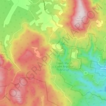
Name: Gray topographic map, elevation, terrain.
Location: Gray, Break O'Day, Tasmania, Australia (-41.68195 148.17623 -41.60874 148.27070)
Average elevation: 383 m
Minimum elevation: 25 m
Maximum elevation: 758 m
Tasmania trails, hiking, mountain biking, running and outdoor activities
Other topographic maps
Click on a map to view its topography, its elevation and its terrain.