
Black Point topographic map
Interactive map
Click on the map to display elevation.
About this map
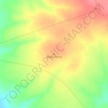
Name: Black Point topographic map, elevation, terrain.
Location: Black Point, Whyalla, South Australia, 5601, Australia (-32.96086 137.73231 -32.96076 137.73241)
Average elevation: 60 m
Minimum elevation: 16 m
Maximum elevation: 93 m
South Australia trails, hiking, mountain biking, running and outdoor activities