
Huntley topographic map
Interactive map
Click on the map to display elevation.
About this map
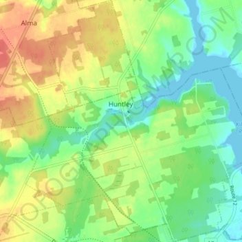
Name: Huntley topographic map, elevation, terrain.
Location: Huntley, Lot 4, Prince County, Prince Edward Island, Canada (46.81938 -64.11061 46.86576 -64.04915)
Average elevation: 21 m
Minimum elevation: -1 m
Maximum elevation: 47 m