
Carrick topographic map
Interactive map
Click on the map to display elevation.
About this map
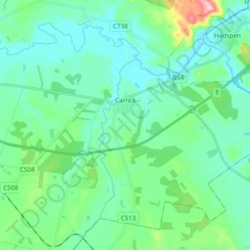
Name: Carrick topographic map, elevation, terrain.
Location: Carrick, Meander Valley, Tasmania, Australia (-41.58385 146.96021 -41.49952 147.09504)
Average elevation: 164 m
Minimum elevation: 126 m
Maximum elevation: 329 m
Tasmania trails, hiking, mountain biking, running and outdoor activities