
Glenn Dale topographic map
Interactive map
Click on the map to display elevation.
About this map
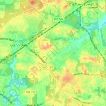
Name: Glenn Dale topographic map, elevation, terrain.
Location: Glenn Dale, Prince George's County, Maryland, United States (38.95631 -76.83610 39.01073 -76.76803)
Average elevation: 52 m
Minimum elevation: 28 m
Maximum elevation: 77 m