
Red Rock topographic map
Interactive map
Click on the map to display elevation.
About this map
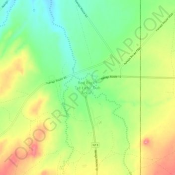
Name: Red Rock topographic map, elevation, terrain.
Average elevation: 1,780 m
Minimum elevation: 1,726 m
Maximum elevation: 1,847 m
Other topographic maps
Click on a map to view its topography, its elevation and its terrain.
Steamboat
United States > Arizona > Apache County
Steamboat, Apache County, Arizona, United States
Average elevation: 1,969 m