
Beaver topographic map
Interactive map
Click on the map to display elevation.
About this map
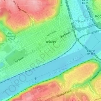
Name: Beaver topographic map, elevation, terrain.
Location: Beaver, Beaver County, Pennsylvania, United States (40.68348 -80.32320 40.70272 -80.29322)
Average elevation: 251 m
Minimum elevation: 201 m
Maximum elevation: 332 m