
Kolbe topographic map
Interactive map
Click on the map to display elevation.
About this map
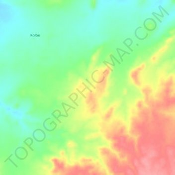
Name: Kolbe topographic map, elevation, terrain.
Location: Kolbe, Mellit, North Darfur State, Sudan (15.08000 24.04667 15.12000 24.08667)
Average elevation: 971 m
Minimum elevation: 930 m
Maximum elevation: 1,023 m