
Oordegem topographic map
Interactive map
Click on the map to display elevation.
About this map
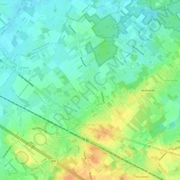
Name: Oordegem topographic map, elevation, terrain.
Location: Oordegem, Lede, Aalst, East Flanders, Belgium (50.94755 3.86754 50.98072 3.92345)
Average elevation: 24 m
Minimum elevation: 10 m
Maximum elevation: 47 m