
Hanging Rock topographic map
Interactive map
Click on the map to display elevation.
About this map
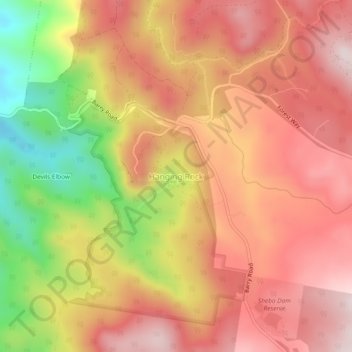
Name: Hanging Rock topographic map, elevation, terrain.
Average elevation: 1,041 m
Minimum elevation: 715 m
Maximum elevation: 1,244 m
Other topographic maps
Click on a map to view its topography, its elevation and its terrain.
Barnard River
Australia > New South Wales > Hanging Rock
Barnard River, Hanging Rock, Upper Hunter Shire Council, New South Wales, Australia
Average elevation: 799 m