
Ann Arbor topographic map
Interactive map
Click on the map to display elevation.
About this map
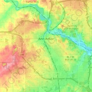
Name: Ann Arbor topographic map, elevation, terrain.
Location: Ann Arbor, Washtenaw County, Michigan, USA (42.22267 -83.79957 42.32397 -83.67581)
Average elevation: 268 m
Minimum elevation: 224 m
Maximum elevation: 326 m