
Kuttabul topographic map
Interactive map
Click on the map to display elevation.
About this map
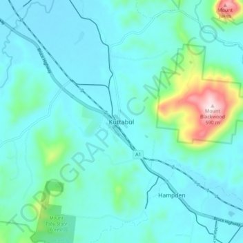
Name: Kuttabul topographic map, elevation, terrain.
Location: Kuttabul, Queensland, Australia (-21.07700 148.87157 -20.99700 148.95157)
Average elevation: 102 m
Minimum elevation: 18 m
Maximum elevation: 577 m