
Garissa topographic map
Interactive map
Click on the map to display elevation.
About this map
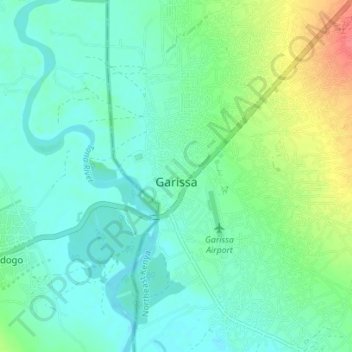
Name: Garissa topographic map, elevation, terrain.
Location: Garissa, Garissa County, Kenya (-0.49057 39.63379 -0.42057 39.67701)
Average elevation: 149 m
Minimum elevation: 133 m
Maximum elevation: 195 m