
Hedge End topographic map
Interactive map
Click on the map to display elevation.
About this map
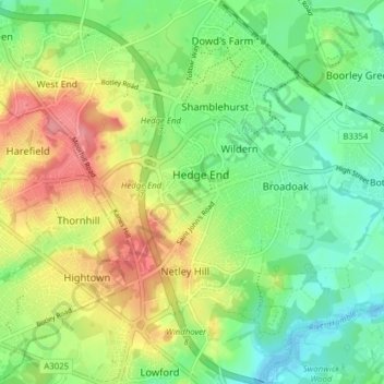
Name: Hedge End topographic map, elevation, terrain.
Location: Hedge End, Eastleigh, Hampshire, England, United Kingdom (50.88876 -1.32757 50.93763 -1.27827)
Average elevation: 35 m
Minimum elevation: -5 m
Maximum elevation: 87 m