
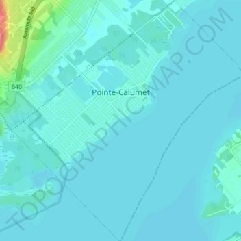
Pointe-Calumet topographic map
Interactive map
Click on the map to display elevation.
About this map
Name: Pointe-Calumet topographic map, elevation, terrain.
Average elevation: 25 m
Minimum elevation: 18 m
Maximum elevation: 96 m
Other topographic maps
Click on a map to view its topography, its elevation and its terrain.
Saint-Eustache
Canada > Québec > Deux-Montagnes (MRC)
Saint-Eustache, Deux-Montagnes (MRC), Laurentides, Québec, Canada
Average elevation: 37 m
Sainte-Marthe-sur-le-Lac
Canada > Québec > Deux-Montagnes (MRC)
Sainte-Marthe-sur-le-Lac, Deux-Montagnes (MRC), Laurentides, Québec, J0N 1P0, Canada
Average elevation: 27 m
Pointe-aux-Anglais
Canada > Québec > Deux-Montagnes (MRC) > Oka
Pointe-aux-Anglais, Oka, Deux-Montagnes (MRC), Laurentides, Québec, J0P 1H0, Canada
Average elevation: 24 m
Saint-Joseph-du-Lac
Canada > Québec > Deux-Montagnes (MRC)
Saint-Joseph-du-Lac, Deux-Montagnes (MRC), Laurentides, Québec, J0N 1M0, Canada
Average elevation: 72 m
Saint-Placide
Canada > Québec > Deux-Montagnes (MRC)
Saint-Placide, Deux-Montagnes (MRC), Laurentides, Québec, J0V 2B0, Canada
Average elevation: 43 m