
Port Albert topographic map
Interactive map
Click on the map to display elevation.
About this map
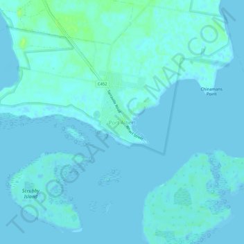
Name: Port Albert topographic map, elevation, terrain.
Location: Port Albert, Shire of Wellington, Victoria, Australia (-38.69180 146.67217 -38.65180 146.71217)
Average elevation: 2 m
Minimum elevation: -1 m
Maximum elevation: 10 m
Other topographic maps
Click on a map to view its topography, its elevation and its terrain.
Port Albert
Australia > Victoria > Port Albert
Port Albert, Shire of Wellington, Gippsland, Victoria, Australia
Average elevation: 2 m